Map
Explore routes and points of interest
Adults: € 10.00 - Reduced: € 5.00 (children from 6 years to 14 years, groups min. 20 people*, students up to 25 years of age) The itinerary is only accessible with a guide and will be carried out with a minimum of 10 people. To book, please contact the Alberese Visitor Centre on 0564 393238 / 0564 407098 from 9:00 to 13:00 or write to booking@parco-maremma.it
The path
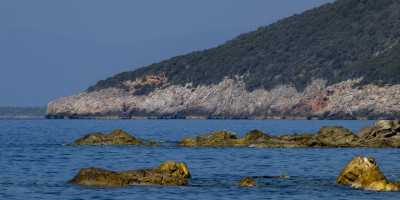
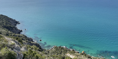
You climb from the ruins of two large Roman cisterns through a high patch of holm oaks, along an ancient customs route, until you reach the Semaforo, an old military lookout point. From here you can enjoy a first magnificent panorama of the rocky coast of the Park, from the Torre di Capo d'Uomo, to the gates of Talamone, upwards. The path continues on the ridge, in a low mixed scrub and garrigue, with views of both the sea and the hinterland, up to the second panoramic point of Punta del Corvo.
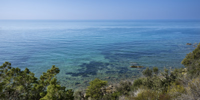
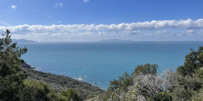
From here, in reality, the panorama is almost continuous, because you begin to slowly descend along the coast, on an easy path that runs high above the sea, in an alternation of low garrigue and stretches of higher holm oak scrub. The view extends over the Tyrrhenian Sea, the Argentario, the island of Giglio and Elba, and when the sky is clear even over Montecristo and distant Corsica. The only visible company is that of the seagulls patrolling the coast.
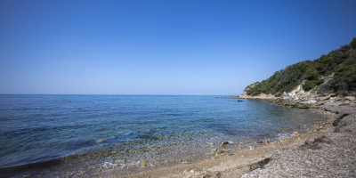
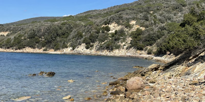
We continue to descend, and from Poggio Tondo the path immerses itself in a forest of tall holm oaks, for a final, slightly steeper descent towards the Fosso della Campana and the Torre delle Cannelle. The arrival at the sea is on an ancient landing place, perhaps of the Etruscans. On the flat rock that juts out into the sea, whose level was lower at the time, there are still traces of the activity of a furnace for melting the ferrous minerals brought here from the island of Elba. A few more tens of metres, and you reach the small Cannelle beach. Here, on this strip of sand flattened into the sea, protected by the Uccellina mountains, we can even forget for a few hours everything we left behind.
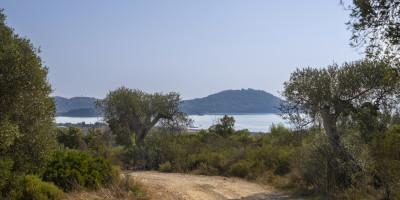
We set off again for a climb into a beautiful tall holm oak forest, steep but not long, up to Apparita, a clearing at the top where the view this time extends inwards, up to Mount Amiata. From here, practically on level ground, you return southwards on a very pleasant path that crosses first a high bush and then a lower one, with views that open up now towards the interior, now towards the sea. You pass through a final panoramic point on the top of the ridge, complete with a small wooden roof terrace from where you can see a good third of the Tuscan coast, from Ansedonia to the Piombino promontory, then down on a beautiful path overlooking the plain preceding Talamone , and we return to the Roman Cisterns.
It can only be reached with guided tours and by reservation.


